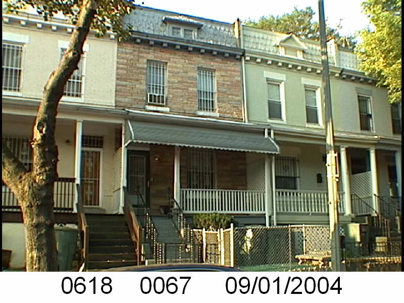
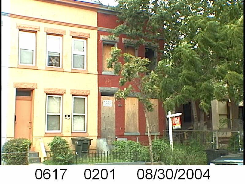
Harry and Bessie Kennedy were the owners of 23 Q St NW in 1920
Harry Lafayette Palmer Kennedy, was born December 6, 1879 in Bowlesville, VA, his mother was Susan Kennedy, a servant. In 1880 he was a baby in Rivanna, VA. In 1900, he worked as a 20 year old live in butler for Dr. George D. Acker at 913 16th St (NW?). In 1918 he worked as a laborer and lived at 1814 North Capitol St NW, while Bessie Kennedy, who is listed as his wife in 1920, lived at 109 P St NW.
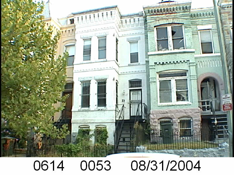
Harry and Bessie Kennedy lived at 23 Q St NW in 1920. Harry was a mulatto manager who lived with Bessie, listed as his wife, and a family of roomers. I don’t know if the Weir family, a widow with her 2 adult sons and 1 adult daughter were related. Sometimes lodgers and roomers are in-laws, cousins, or other relatives.
By the 1930 census, Harry is no longer around. Bessie, curiously enough is downgraded to a single (not divorced or widowed) seamstress and renter at 23 Q St NW in one of two units. I know she wasn’t a renter.
Harry was elsewhere. I’ll touch on that later.
In the 1940 census, 23 Q St NW is still a 2 flat property. Bessie is once again an owner, but her name is Bettie.
From the Recorder of Deeds this is what we know. The first record is a December 1921 trust (borrowing money) of Harry P.L. and Bessie Kennedy from individuals for $750.00 at 8% interest. They pay this off in 1923. The next year they do one of those weird deed things where they transfer the property from Harry and Bessie to Roy Early who immediately transfers it to Bessie Kennedy. It doesn’t seem to matter because in May 1925 Harry Lafayette Kennedy of 1568 Jay St in Detroit, MI has an “agreement of mortgage” with Benjamin Steinback of Detroit, MI borrowing $531.42 to be paid back in two payments. This was the clue I needed to figure out what happened with Harry.
In the 1930 census Harry had moved to Detroit. By that census he was 50 years old, claiming he was born in Cuba, with Cuban parents. He and his new wife Trinidadian Edith (Edythe L Warwick) lived at 2971 Clinton in Detroit with their two small children Bertram and Joan, along with some lodgers. I cannot locate the family in the 1940 census. I can say he died in November 1953, in Detroit.
But back to Bessie or Bettie.
Bessie alone borrowed $2,300 on 11/18/1927. This document points back to the transfer that happened in 1922 with Roy Early. How legal was the trust or agreement of mortgage that Harry did? Tis a mystery. Moving on. She paid this off in 1928.
But lets go through the debts she takes on between 1922 and 1953. In May 1923 she and Harry borrow $1500 from Ben and William Stein. This is paid in 1925. Later in Nov 1923 she borrows $1800 from individuals. She pays this off in December 1927. She borrowed $2,600 from the Perpetual Building Association in October of 1928. This was paid off in June 1931. Also in June 1931 she borrowed $2500 from the Perpetual Building Association. December 1931 she borrowed $132 from individual trustees. She refinanced in October 1934, borrowing $2,500, and again in September 1940 with $2,200 from the Perpetual Building Association. It appears that in 1941 she financed some work on the property (I don’t feel like looking up permits) by the Kraft Construction Company where she borrowed $375, and paid it off in 1944. This was her last loan.
She died September 1, 1952. Her heirs, Susie E. Hall, John Terrell, Orddie Terrell (and wife Alice Terrell), Sarah Dearing, and Mary Hudnell sold the property in August 1953 to Sol Breiterman. The document does not explain how they are related, if at all, to Ms. Kennedy.
Since Orddie is such an unusual name I started with him. On his WWII draft card he listed Susie Hall as the person who would know where he lived. Unfortunately, their names lead no where and so I’d leave it here.


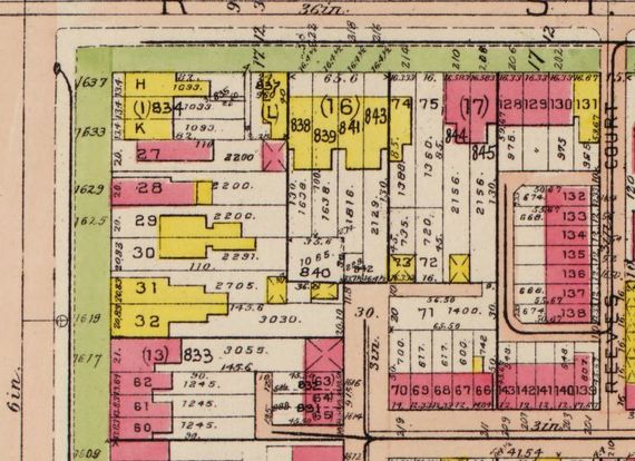
 So 1618 1st St NW no longer exists. It’s one of many long gone properties where the Northwest Cooperative currently sits. Looking at 1919 map of Square 551 where the property sat, it looks like it was sharing a wall with the Dairy.
 219 Q St NW, is one of those messy ones. The property no longer exists as the Northwest Cooperative sits there. Square 551 lot 8 is one of those properties where several other lots claim to be lot 8 too. Novella