This is also a personal blog so I’m going to step away from the neighborhood history and talk about houses.
Last year we sold our lovely home on 4th St in Truxton Circle with the plan to buy something in a certain corner of Prince George’s County Maryland. We moved a few doors down on 4th St and rented from former neighbors while we looked at houses. Today and yesterday, I had to run a few errands, and I passed by 4 houses we looked at but did not buy.
The House On the Busy Road- I had to pick up something the Help did not get from the store and on my way back, I passed by the first house we looked at. This was before we were actually serious. Before we got a realtor. Any realtor. As I walked by the house, I noticed a woman enjoying the side porch we did not buy. I wasn’t sure if it was the exact house. The wildly painted stairs had been repainted something more neutral and the house looked like neighboring homes. We agreed that being on a busy road was not right for us.
When we looked at it Destructo-kid was still solidly in diapers. I remember this because he had a blowout. And cut our viewing short so we could change him in the back of the car. We had parked the car near the home of people we knew, but they didn’t seem to be home at the time. Where we were looking had a lot of people we knew, which is why we picked the area we chose to buy. Destructo is mostly potty trained now.
The Divorce House- I’m calling this the divorce house because our Realtor was told the seller was getting or had gotten divorced. It was a wonderful house, with a nice screened in side porch, nice big backyard, finished basement, bathrooms on 3 of the 4 levels, almost everything we wanted…. except the price. We inquired if it would be worth putting an offer. Even before their open house, they already had a few all cash offers at their asking price.
I was passing by the Divorce House to deliver some misdirected mail. The new owners made some similar exterior adjustments that we made with the house we eventually bought. I also noticed some backyard kid stuff. That side porch, which was actually a sunroom, would have been nice. There were a few things I did not like about the house, but that’s a non-issue.
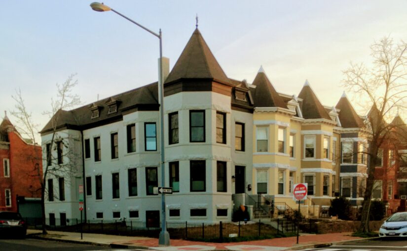
The House on the Corner- Another errand had me on my bike passing the House on the Corner (HotC) that I liked. I really liked the house…. the yard… what yard? The problem I noticed with a lot of houses on corners were that most of the yard was in the front. The point of leaving our lovely townhome on 4th St was to get a yard. With grass. This was scraggly grass, weeds and tree roots in the front and a path from the garage to the house in the back.
I really liked that house. It had a side porch, we really wanted a porch. The second floor had connected rooms. When we looked at the house, without Destructo. I had fun running in a complete circle from one connected room to the next. The converted attic space had reading nooks in front of the Amity windows. The Divorced House had a similar set up, but the connection was closed off and the attic stairs were poorly placed.
Lastly, the Slopey House- We looked. We decided it was too small and we could not to a dang thing about the super sloped back yard. The backyard of this home was the big no that had us passing on it.
Back from another errand, I biked by slowly. Slowly because I was going uphill, being lazy, and using the electronic assist. I could still see the yard remained sloped with a big dip in the center. I could also see the new owners removed a lot of the greenery the previous owner seemed proud of. How sloped you’re wondering? In parts 45 degrees.
I’m enjoying my perch from my upstairs office in the house we are calling home. The house has a number of old house quirks that probably would have been avoided with the Divorce House. We are working on reclaiming more of the yard from the previous owner’s projects.
When I pass the houses we looked at and failed to win the bid on, I think about what could have been. But I also realize we could have missed out on what we have. We didn’t get radiators but we did get the porch we wanted. There are things we didn’t get but in time, I can turn this house into another project.