I got a warning months ago but didn’t really understand it. Citizen Atlas is gone. Sort of.
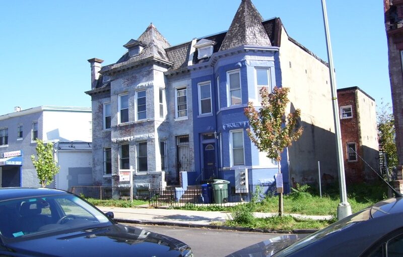
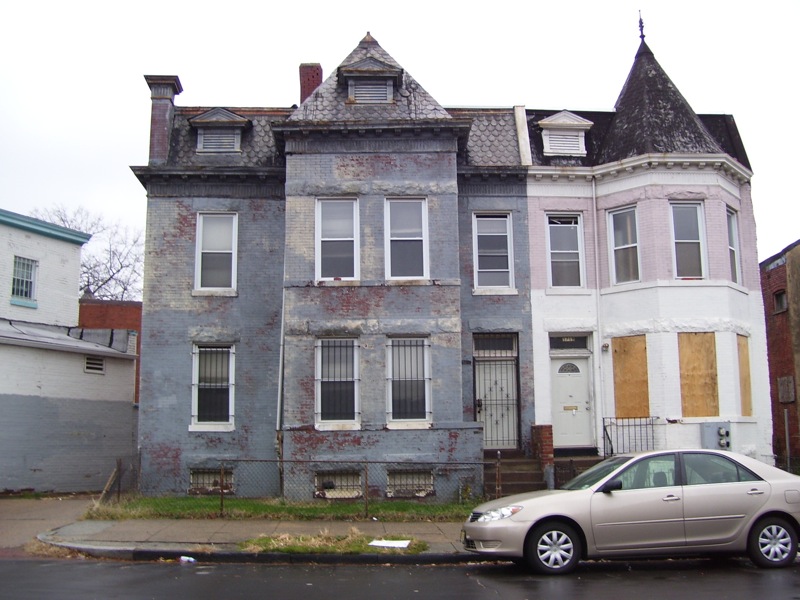
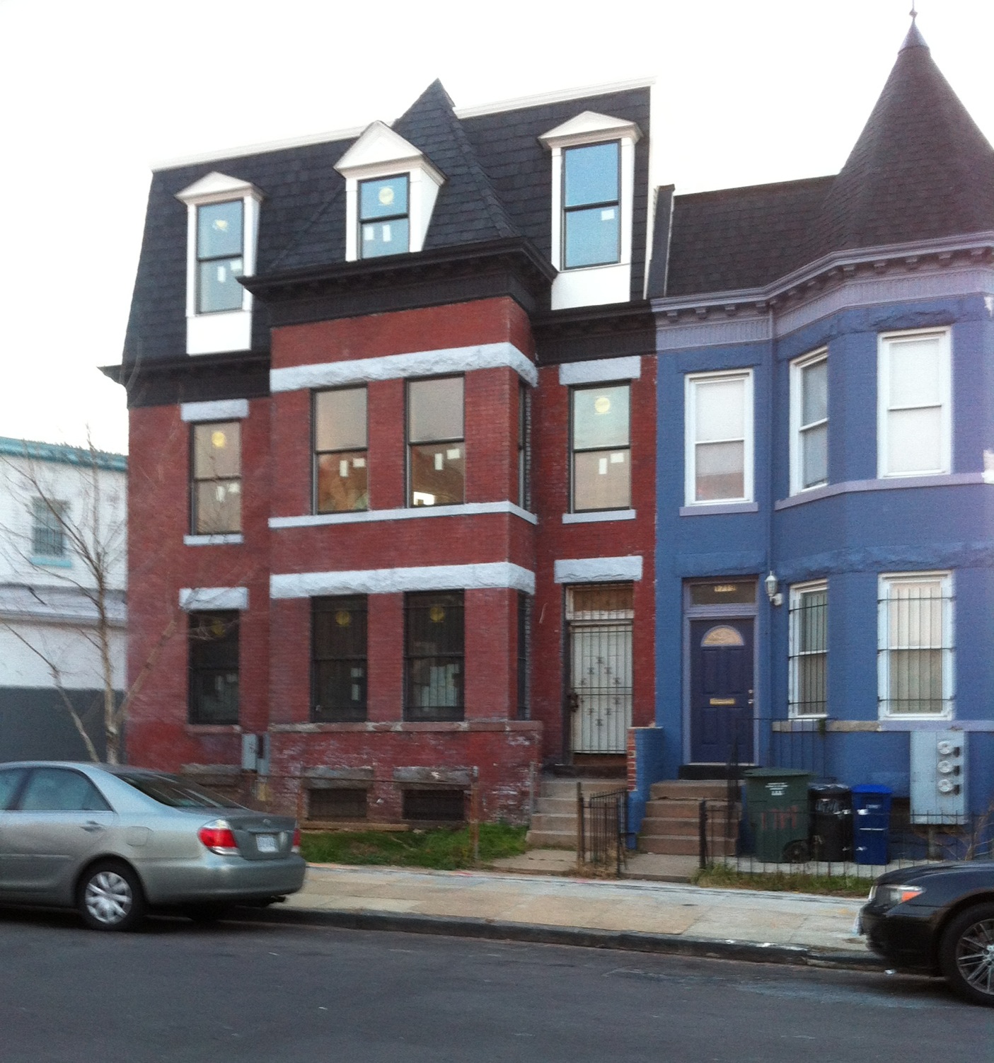
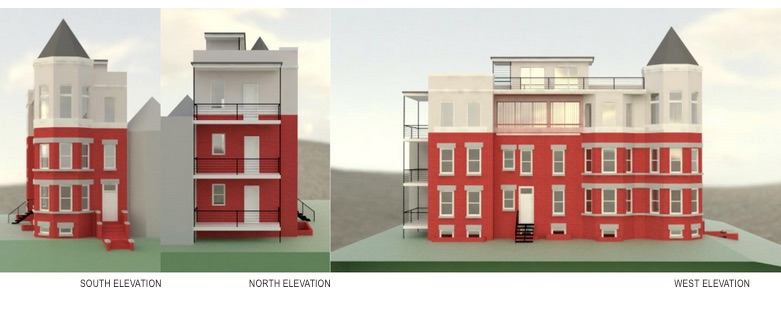
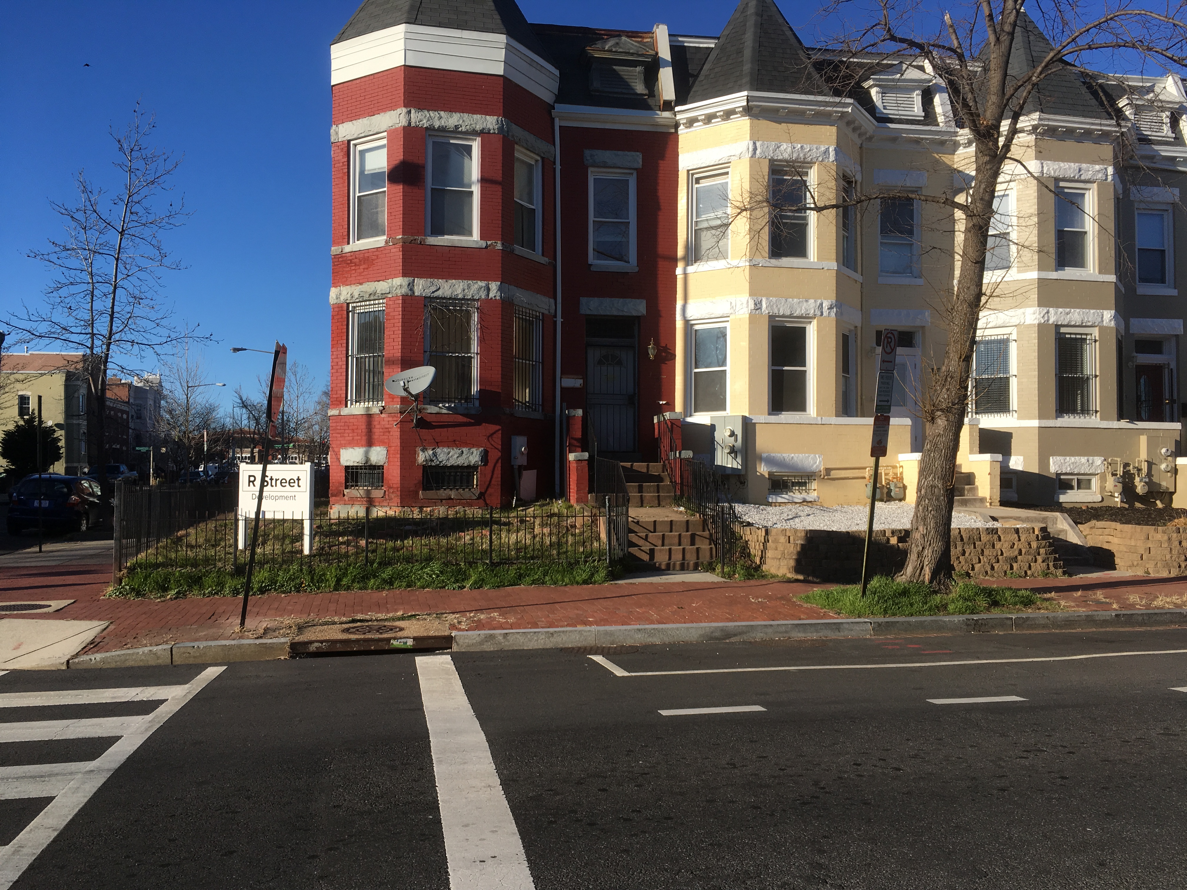
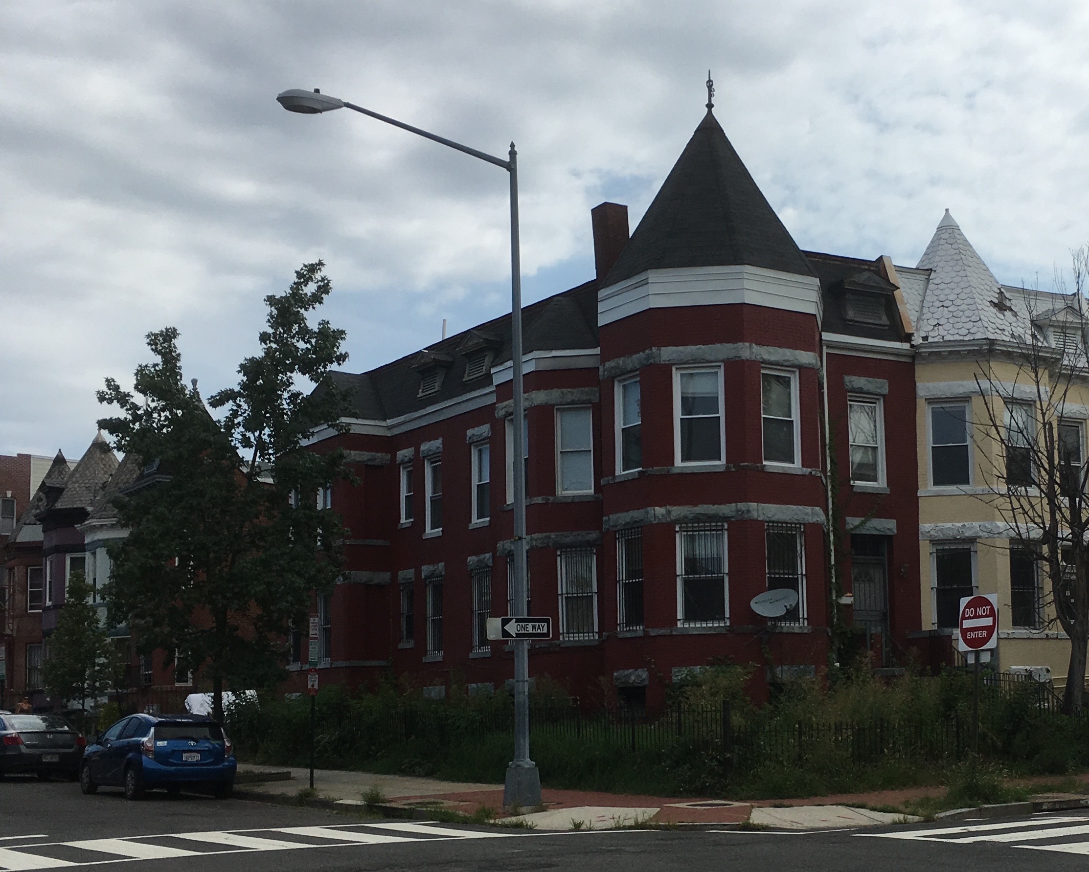
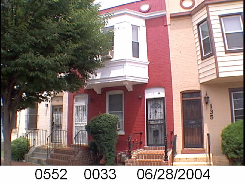
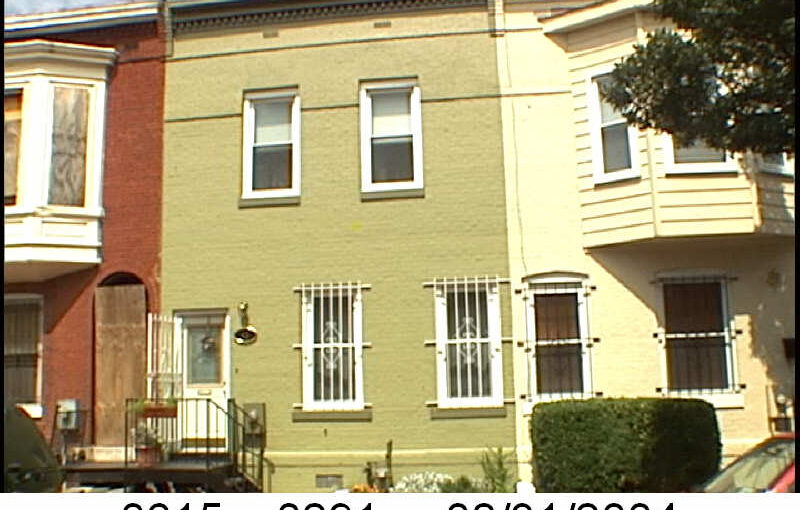
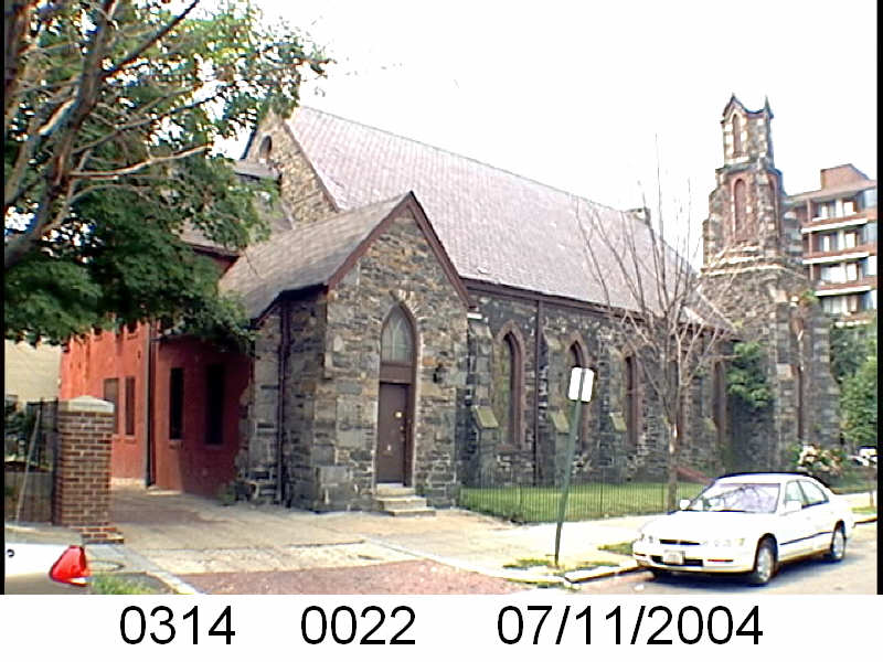
For years I have been using https://propertyquest.dc.gov/ to find information about houses in Truxton Circle and sometimes other parts of DC. I have used photos from Property Quest, which leaned on Citizen Atlas for photos for churches and other places.
 But now that’s gone.
It makes sense in some ways. These photos are old enough to buy themselves a strong drink. So I hope they are with an archive or something. That is something I’ll have to look up later because this summer is personally busy for me.
Most places use Google Street View. Real estate websites use it along with the government. Those are the most up-to-date images of a property….. unless the owner or former owner has blocked it.
The photos aren’t completely gone. Not knowing when the photos will disappear, I copied all the ones used for the blog and the URLs (for now) work. Unfortunately, I THOUGHT, I had copied all the photos for Truxton Circle. But alas, no. I only did it for one block.
So I will eventually update the URLs on the blog to a page in the InShaw universe where I am hosting the images I have used. Yes, they are over 20 years old, but as far as I’m concerned they are government created and free to use.