The Scotts of 1717 New Jersey Avenue

I briefly mentioned Ida Dorsey Scott when reviewing 1717 New Jersey Ave NW when it changed from having White residents to Black residents. She owned the house from 1924 to 1951.

The house was foreclosed January 1924 from Mayo and Sarah Scott. Because the first mention of the Scotts is a foreclosure, it does not state the relationship between Mayo and Sarah.

Looking up Mayo J. Scott, because his name is so unusual, I found there were two Mayo Scotts, Sr. and Jr. Neither of them married to a Sarah.

A Mayo Scott appears in the DC Recorder of Deeds for a lease from July 1923 for 1707 New Jersey Avenue. It was between just Mayo J. Scott and William Taylor. There was no William Taylor listed as an owner for that block. The closest I can find was a Grace Taylor who was on the deed with Amelia Green at 1703 New Jersey Avenue.

Looking at the City Directory, I found the link between Mayo and Ida Dorsey Scott. They were apparently married.  Ida was married to a man named Arthur C. Dorsey. Arthur died in 1936 and the Rev. Ida Dorsey Scott is mentioned as his divorced survivor.

Going back to Mayo J. Scott, I will assume the elder. He was previously married to Annaca Alberta Jackson, but divorced her in 1923 citing ‘desertion’. They were married in 1901 and had three children, one I will guess was Mayo James Scott Jr, who sometimes switched it up to James M. Scott. I  gather he didn’t want to be a sandwich condiment.

James Mayo Scott
James Mayo Scott the younger

Not sure when and legally ‘if’ Mayo married Ida. Twenty-one year old Jr. married Elsie V. Jackson November 1923. Elsie was listed as his wife when he died in 1979. I found this lovely recollection of the younger Mayo Scott from his daughter on the web:

Marie. Dad was born 1903, Mom was born 1900. Her maiden name was Jackson .

Susan. Your dad, his middle name was “Mayo.”

Marie. Yes, James Mayo Scott.

Susan. Mom and Dad—what were they like? What did they do?

Marie. Well, Dad worked for the railroad up here in Bluemont. He had a job there. I guess cleaning and washing, I don’t know. I know he worked at the railroad station. My grandfather worked at the Bluemont hotel, and then later drove Miss Ruth’s car for her. The hotel was a big house up on the side of the road, on Railroad Street. Ruth’s Home bought it from the Beatty’s.

Susan. And Mom, what did she do?

Marie. Mom, she just stayed home and raised the children. But she worked for the Beatty’s also. And she worked for 30 years at Ruth’s Home.

Marie Scott goes on and briefly mentioned her grandparents along with their photos.

Mayo James Scott the elder

Ida D. Scott was the mother of Raymond Dorsey who died in 1952. She was listed as his next of kin. She was also the mother of Mildred Proctor who died at 1717 NJ Ave NW in 1928. But from Mildred’s death certificate we learn Ida’s maiden name was Ida R. Tyler.

Ida Scott had also the title of Reverend. It was mentioned in her own obituary when she passed away in 1956 and in her ex-husband’s obit. However, an Ancestry Family tree has her death in 1971 in Kent, MD.  But the 1956 obit mentions brother Jerry Tyler. In the 1934 city directory, she was listed as a ‘Spiritualist’ under the heading of clergymen. So there is the possibility that an ad in the October 1944 Sacramento Daily Union advertising “Psychic readings by appointment,” could have been her. However, I have found a lot of Rev. Ida Scotts all over the US and one who still exists to this day.


Abraham H. Levin- Colonial Mortgage Co.

The Washington Sanitary Improvement Company houses sold by the Colonial Investment Company, made up of Nathaniel J. Taube, Nathan Levin and James B. Evans used trustees Abraham H. Levin and Robert G. Weightman. Early on, I was not aware of a connection between Nathan and Abraham H. Levin. Currently, I am aware that Nathan and Abraham were brothers.

When Nathan Levin died in 1956, he was replaced by Harry A. Badt in the paperwork for further foreclosures and sales of WSIC Truxton Circle houses. In researching Badt, I found the brotherly connection.

According to a 1946 ad, Colonial Investment Co. was established in 1925. So starting there, I looked for him in the papers. In 1933 Abraham Levin passed the bar. The next year he married Naomi Lillian Bersh. He worked for the Census Bureau. In the 1940s he went into real estate, obtaining his license in 1945.

His brother, Nathan Levin, died while in court in 1956. The May 13, 1956 reported that Abraham was in the room when it happened. Nathan was president of the Colonial Investment Company and executive vice president of the Colonial Mortgage Corporation.
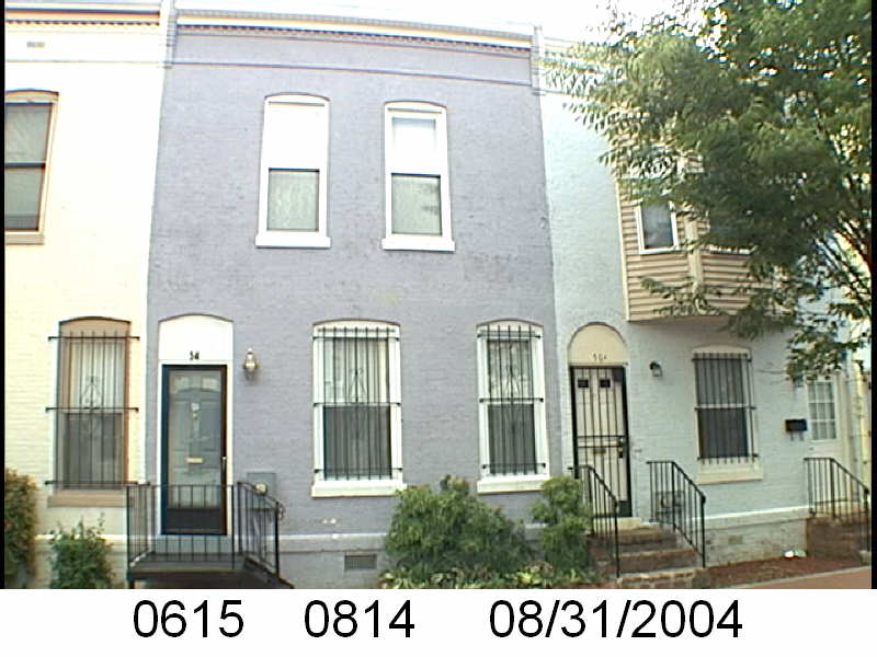
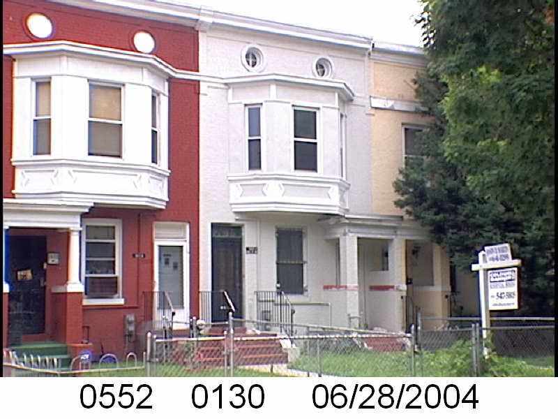
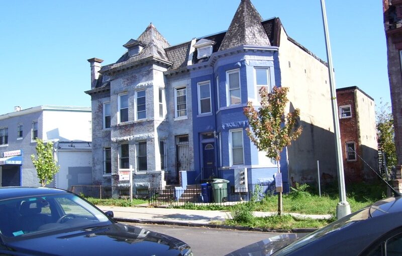
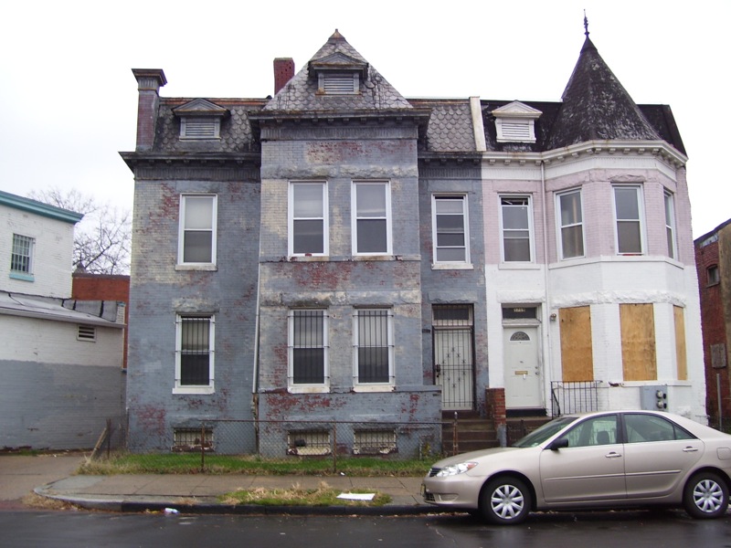
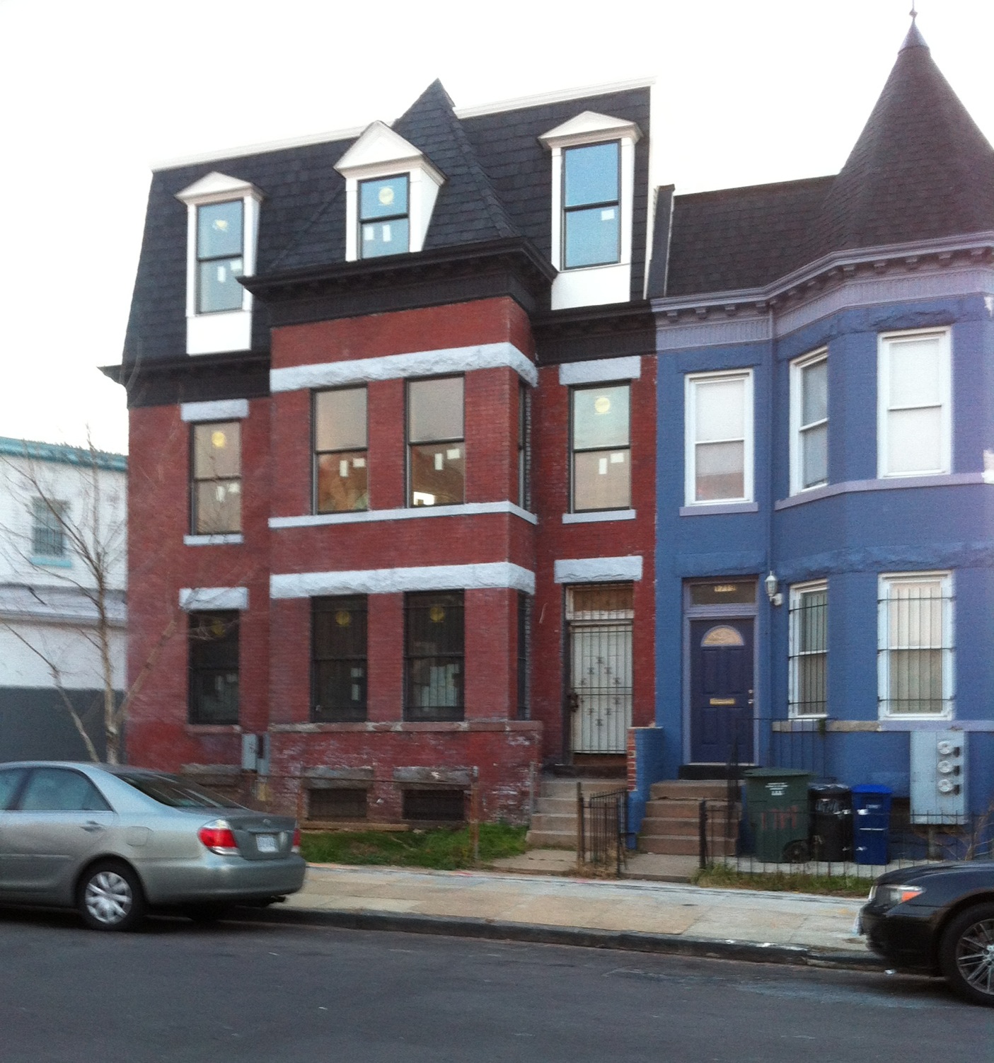
According to Abraham’s obituary he returned to federal service in the 1960s, working for HUD. He died in 1998.

Abraham H. Levin was one of two trustees who issued mortgages to African Americans purchasing Truxton Circle homes from the Colonial Investment Company. His name was on countless foreclosures.

Farewell Citizen Atlas

I got a warning months ago but didn’t really understand it. Citizen Atlas is gone. Sort of.

For years I have been using https://propertyquest.dc.gov/ to find information about houses in Truxton Circle and sometimes other parts of DC. I have used photos from Property Quest, which leaned on Citizen Atlas for photos for churches and other places.

But now that’s gone.

It makes sense in some ways. These photos are old enough to buy themselves a strong drink. So I hope they are with an archive or something. That is something I’ll have to look up later because this summer is personally busy for me.

Most places use Google Street View. Real estate websites use it along with the government. Those are the most up-to-date images of a property….. unless the owner or former owner has blocked it.

The photos aren’t completely gone. Not knowing when the photos will disappear, I copied all the ones used for the blog and the URLs (for now) work. Unfortunately, I THOUGHT, I had copied all the photos for Truxton Circle. But alas, no. I only did it for one block.

So I will eventually update the URLs on the blog to a page in the InShaw universe where I am hosting the images I have used. Yes, they are over 20 years old, but as far as I’m concerned they are government created and free to use.


A suitable pop up- 1721 4th St NW

There is a lot of background with this house, but I want this to be a more visual post.

1721-1719 4th St NW. Taken 2008

This was a house that didn’t have a lot of interior space. I don’t think it had a basement. It did not have a 3rd floor.

1721 4th St NW. Taken in 2012.

Now it has a 3rd floor. Notice the difference in the rooftop. The pop up is very subtle. It is currently two condo units.

Memory Lane: Alpine Strawberries in the backyard

Corner of patio garden. Taken May 2006.

One of the things I miss about my Truxton Circle home* is my patio garden. I loved being able to pop out of the kitchen backdoor and grab a few herbs for cooking. I did grow other things, like alpine strawberries.

You will never find alpine strawberries in your local store or farmers market. These things are too fragile to survive transport. But they are supertasty.

They grow in not so sunny yards such as my backyard patio.

Now some of these plants made it to the Maryland abode and with a larger yard with sun, these things flourished. In DC I was able to get a few tasty fruits and was happy. Now with a few more plants because they like the sun (who knew?), I can snack on them when putting around in the garden. I can get a decent handful in one outing, depending on if anything has gotten to them.

What do they taste like? Strawberries. A mushier strawberry.

They do not have runners. They grow in clumps. They have survived several harsh DC/MD winters. The squirrels (and deer) don’t seem to be too interested in them. Slugs like them.

They do grow from seed, but it can be challenging. If you have room or just want the greenery, I recommend them.

*I moved to the suburbs of PG County in 2021 during the pandemic.

Boundaries of Shaw, Washington, DC

Everyso often people argue about the boundaries of the Shaw neighborhood. Here’s a map from 1971 from the National Capital Planning Commission. It also shows the 14th St Urban Renewal Area, but little matter.

map of Shaw and CH

Memory Lane: Guys on the corner

Taken May 13, 2016

I do not miss the old guys who sold heroin on the corner of 4th & Q. I do not miss calling 911 or 311 depending on the ever changing policy and not getting great results.

But they weren’t all that bad. One winter, Jimmy and the crew joined in with the snow shoveling.

They were better than the young men who sold drugs on my or other nearby corners. Young men attract more violence. With the old guys, I didn’t worry as much about drive bys and stray bullets. Slow moving men can’t fight turf battles.

I did worry when younger men started hanging out there.

Before the old men. It used to be the spot where screamy teenagers would hang out and….. scream.

319 R Street NW

I was going through some of photos and decided to post.

Townhouse
319 R St NW, Washington, DC

Above is what 319 R St NW looks like now.

Developers Plan B

Then there was the alternative reality of what it was supposed to look like.

319 R St NW, 20001
319 R St NW. Taken March 7, 2018

And lastly, 319 R St NW back when the Korean church owned it for mission work.

319 R St NW, Taken July 9, 2016.

Links to my previous posts about 319 R St NW:

319 R St- Off Market sad-face
I provided the gun but I didn’t shoot him: Historic Landmarking of Sq. 519
319 R St NW- There can be a way forward with a turret
319 R St NW- The Turret is Plan B
319 R St NW- Not hoping for the best, but the less ugly with a turret
319 R Street NW- a sign
319 R St NW
319 R Street the plan
Well we need more of this kind of missionary work

Memory Lane: Beans and Demographics

I’m changing my Flickr account from paid to free and to do that I had to delete over 2000 images. Some of the images were transferred to this blog. The exercise did have me going down memory lane.

In 2017 two artists, Brian Bakke & Ira Tattleman, and myself had an exhibit in Truxton Circle called the Triangle Known as Truxton Circle. One of my exhibits showed the demographic changes to Truxton Circle from 1880-2010.

The drawings were of the filling out of the neighborhood. The top map was 1880. The following were 1900-1940.

On the maps, I took house by house information and colored white households with yellow; Black households with brown; government in blue with who they served filled in; and commercial properties in red.

The boxes of beans were to show the decline of the population. It was at its highest in 1940. The boxes had black beans for African Americans; Navy beans for Whites; and pinto for everyone else. The TC became a majority Afo-American neighborhood in 1930. You can see a lot of black beans in the 1950 box, along with speckles of navy beans. When WSIC sold off their rentals, those White renters left by the time the 1960 census rolled around.

As you can see the number of beans keeps decreasing year after year. And it isn’t until 1980 when the neighborhood starts seeing some racial diversity again.