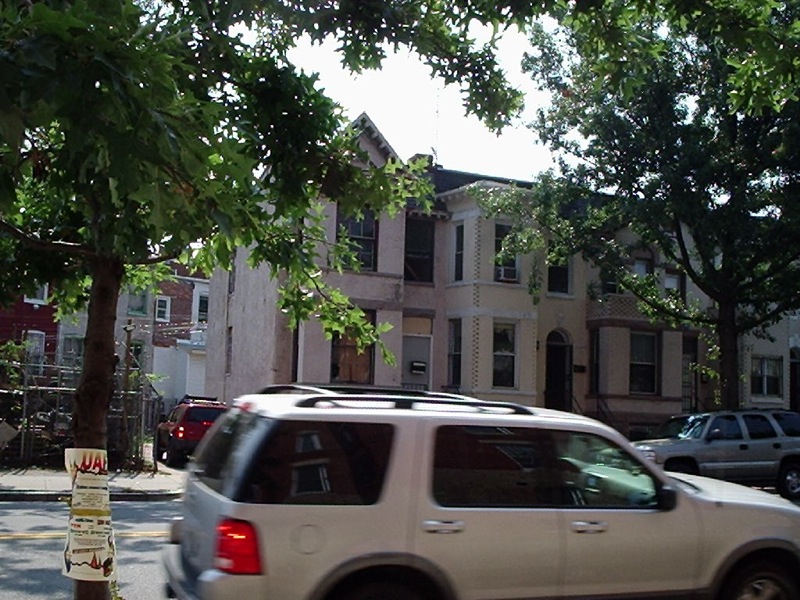
Now there is a pop up on top. This is pre pop top.
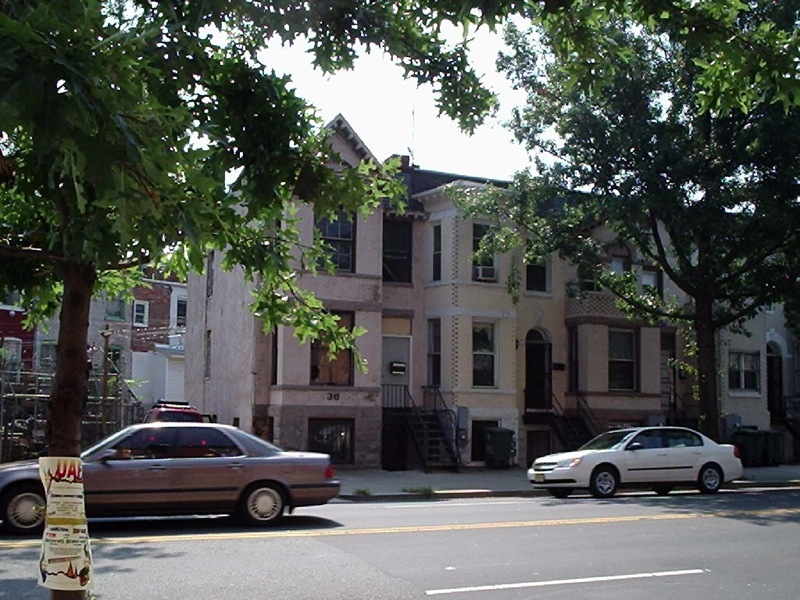
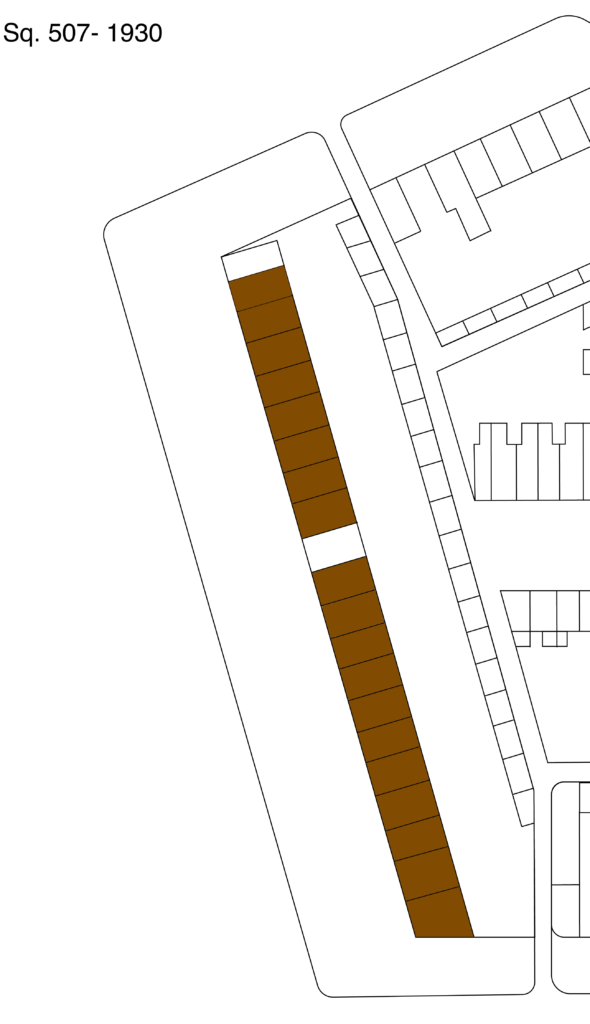
In this series of looking at the odd numbered side of the 1700 block of New Jersey Ave NW from 1920 to 1930, I decided to look at the other end of the block. The change from 1920 to 1930 for most of the block was from white renters to black home owners. My post The sell off of the 1700 block of New Jersey Ave NW pretty much explains the why.
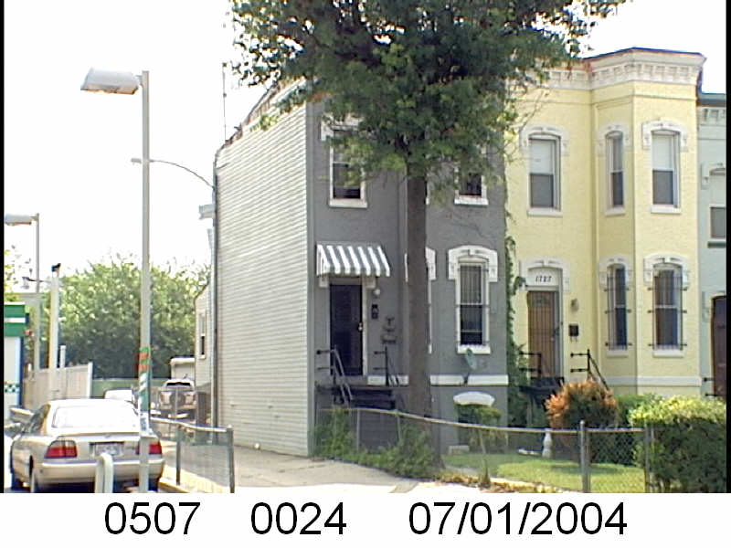
The couple renting 1729 NJ Ave NW was fairly old. The head, George P. Blair was 66 years old in 1920 and his wife, Annie (nee West) was 62. They lived with their two very adult sons and two adult daughters. George was born in Jessups Cut, MD in 1853 to Scottish or Irish parents. In 1910 the family lived at 631 T St NW when George Peter was a barber.
In 1920 George Sr. worked as a watchman for a dry goods store. His 37 year old son George P. Jr. was a clerk for a field service and 36 year old James Clinton Blair was a clerk at a furniture store. Thirty-three year old daughter Fannie May Blair was a sales woman at J M Gidding and Co. The youngest, Bernice, 23, did not have a job.
George Sr. died in 1927. He was survived by his wife and two surviving children, James and Bernice. James had moved to Cleveland, OH. Annie and Bernice, who worked as a cashier, lived on Girard St NW. Annie Blair eventually died, December 30, 1938 at 1114 Monroe Street NW at the age of 80.
1729 NJ Ave NW (Sq. 507, lot 24) sold from M. Harvey Chiswell to Ida M. Smith then to Arthur B. Wall around February 1921. That same month Smith sold it to Arthur B. Wall, according to the Washington Herald.
However the earliest document found for lot 24 is from 1928 and the owner was Anna Grayson. There was a 1928 release for a February 12, 1921 loan Grayson had with Chiswell and Kite. In 1928 it appears she borrowed $3,400 from trustees Stuart V. Davis and Edward McDermott. She had other loans, but it was this one that was the instrument that allowed for the 1931 foreclosure and the transfer of ownership to Leo and Mavina Kahn.
The residents at 1729 NJ Av NW, according to the 1930 census, contained the African American Grayson family. George W. Grayson, was the 62 year old head, Anna (nee Lee) was his 59 year wife. They lived there with their widowed son, 36 year old George Jr. and 28 year old daughter Mrs. Evelyn Chantrelle.
Prior to NJ Ave, the Grayson family lived at 1469 Church St NW as renters in 1920. They lived with their daughters and son-in-law. George Sr. was a laborer for a motor company. Anna was a housekeeper for a boarding house. Daughter Juanita was a waitress at a restaurant and husband Clifton W. Kelly was a paper cutter.
George Sr. died January 29, 1931 and it appears this was the thing to have the family fall apart. Remember this was the same year the Graysons lost the home to foreclosure. Anne died December 10, 1941. I looked for her in the 1940 census, but I can’t find her.
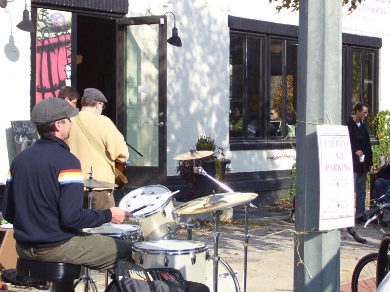
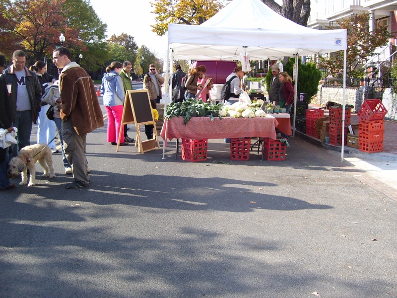
Welcome to my Memory Lane posts, where I look at old photos of the neighborhood and remember. Today is the BFM- Bloomingdale Farmers Market. Yes, it is in another neighborhood, technically. But it’s right on the border with Truxton Circle and felt like a neighborhood amenity.
These were taken in 2007, so those were the early days of the BFM. I have a zillion more photos of the BFM. But let’s just start with these.

In this series of looking at the odd numbered side of the 1700 block of New Jersey Ave NW from 1920 to 1930, I decided to look at the other end of the block. The change from 1920 to 1930 for most of the block was from white renters to black home owners. My post The sell off of the 1700 block of New Jersey Ave NW pretty much explains the why.
In the 1920 census the 1731 NJ Ave NW was occupied by George MacIntosh and his family. George Williamson MacIntosh was a DC born White 37 year old ice cream truck driver. He lived there with wife, Mary Ida (nee Taylor) and their four of their eventual 12 children.
George was born July 15, 1882 to Ida Virginia (nee True) and Charles Richard MacIntosh in DC. In 1900 he was a 17 year old living with his mother Ida at 3101 K St NW and a boarder.
I could not locate George’s location for 1910. So I looked for Ida. I found Ida in 1910 under another name. Ida Posey, who’d been married for 9 years but living with her parents at 1053 31st St NW with her 6 year old son and 1 year old daughter Agnes. Her father’s name looked familiar and I swore I’d seen James F. Taylor before. Then I looked at who else was in the house, 20 year old John Miller. There was a John Miller living next door in 1920 at 1733 NJ Ave, who also drove an ice cream truck. Were they some how related? Dunno. Not going down that rabbit hole.
1731 NJ Ave NW (Sq. 507, lot 25) sold to Salvadora E. Smith by M. Harvey Chiswell September 10, 1920. She used a loan from Chiswell’s brother W. Wallace Chiswell and developer Harry A. Kite, which Smith paid off in May 2023. July 2023 Ms. Smith took out a $2,300 loan from the Washington Loan and Trust Company. It appears she refinanced in 1931, talking out at $2,500 loan, then again in 1932 for $1000, and again in 1941 for $2,500 with Washington Loan and Trust. The home was sold after her death by her will’s administrator James P. Donovan.
So who was Salvadora Elizabeth Smith? According to the 1900 census she was an African American public school teacher who was born around 1863. She grew up at 440 Massachusetts Ave NW, in downtown DC. With the exception of their father, USCT Civil War veteran Moses Smith Sr, everyone was identified as ‘mullato’ in the household. Her father worked as a printer at the Government Printing Office and her mother was a homemaker. She attended Howard University, graduating from the Normal School in 1883 (PDF).
Looking up her background, it appears she purchased 1731 as a rental or investment property. In the 1930 census she was not there, instead there were renters. Nor was she on NJ Ave in 1940. When the Evening Star announced her death in May of 1942 it said she died at her residence at 460 Massachusetts Ave NW.
She is not getting the “Black Homeowners of TC” tag as I cannot prove she lived at 1731 New Jersey Avenue.

In this series of looking at the odd numbered side of the 1700 block of New Jersey Ave NW from 1920 to 1930, I decided to look at the other end of the block. The change from 1920 to 1930 for most of the block was from white renters to black home owners. My post The sell off of the 1700 block of New Jersey Ave NW pretty much explains the why.
At this point, I’m just seeing who lived there, where did they go, where did they live before, and who were the African American buyers who purchased the property and where did they live before.
There were two white households living at 1733 New Jersey Ave NW in 1920. The Tidmeyers (actually Widmire), headed by 47 year old plasterer Charles, and the Millers headed by 30 year old driver John. Neither household had children in their households at the time.
I can’t give a history for the Millers because there was another John Miller in DC, living on Wisconsin Ave NW, married to a Florence. Their birthyears are around about the same time. But the John Miller at 1733 was married to Flossie and drove an ice cream wagon. I need to note his neighbor at 1731 also drove an ice cream wagon.
Ancestry confuses Charles F. Widmeyer who was also married to an Elizabeth with Charles A. Widmire married to Bessie (a variant of Elizabeth). The tip off was that Chas. F’s wife died in 1907. So I am not 100% sure I picking a Chuck based off my best guess.
Charles was born in Washington, DC around 1870 to German parents. He married Bessie around 1890. Bessie brought 3 sons (Eugene, John J. and Frank Convoy) into the marriage and together had daughter Helen. In 1900 and 1910 the family lived at 520 R St NW. 1920 was not a good year for Charles. In the Evening Star he brought a complaint to the Rent Commission in March 1920. It appears the commission made their decision late in the year after M. Chiswell sold the property. The new owners, the Whiteheads could up the rent to $40. Charles died March 18, 1949 at 1227 6th St NW, and was predeceased by his wife.
1733 NJ Ave NW (Sq. 507, lot 26) based on a July 1926 release from a loan with W. Wallace Chiswell, Harry A. Kite, James A. and Coralie Whitehead purchased the property November 1, 1920.
James Arthur Whitehead was born Continue reading 1920 to 1930- White to Black- 1733 New Jersey Avenue
Memory lane is the series where I go through my old photos of the Truxton Circle (or Shaw) neighborhood and reflect.
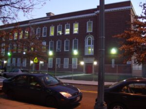
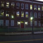
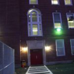
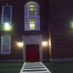
The John Cook School is the building that Mundo Verde PCS now occupies. When the photos were taken in 2007, I believe the school had recently closed, but the city kept the lights on.


I’d been quite busy with preparing for the DC History Conference and while writing up my presentation I discovered redlining in Truxton Circle.
I had previously thought red lining did not apply to Truxton Circle. Black homeowners bought and sold homes and used institutional and private lenders to get mortgages. The definition I had heard was the complete lack of financial sources.
As I was rewriting my script for the conference, I put two separate ideas together and the scales fell from my eyes. I saw it as clear as day. Which then meant I had to rewrite my whole pitch.
I do plan to share this revelation but it needs to be a several part series. This is my teaser.
There was a great turn out for the Neighborhood History and Housing session for the DC History Conference at the MLK Library. I ran into the amazing Scott Roberts. I had a handout, I’m not sure he got a copy. And for those of you who want to know what resources you can tap into to do similar histories take a look below:
DC Public Library– https://www.dclibrary.org/
Under Research & Learn (DCPL library card required)
Ancestry (AncestryLibrary)- https://www.dclibrary.org/research-and-learn/ancestry-library-edition
Historical Washington Post (ProQuest)- https://www.dclibrary.org/research-and-learn/washington-post
Library of Congress– https://www.loc.gov/
Chronicling America/ Evening Star – https://chroniclingamerica.loc.gov
 Sanborn Fire Insurance Map for DC (volume 2)- https://www.loc.gov/item/sanborn01227_003/
DC Recorder of Deeds (online land records)- https://countyfusion4.kofiletech.us/countyweb/loginDisplay.action?countyname=WashingtonDC
Find A Grave– https://www.findagrave.com/
National Archives & Records Administration– https://www.archives.gov
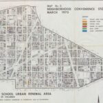 Map No. 2 Neighborhood Convenience Stores; Records Relating to Urban Renewal, 1934–1998, entry A1 13, Records of the National Capital Planning Commission Record Group 328, National Archives Building, Washington, DC. (NAID 784266)
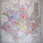 Map of the Metropolitan District of Washington DC, 1936; file Housing Market Analysis Washington, D.C. July 1937; Records Relating to Housing Market Analyses, 1940–1942, entry A1-6; Records of the Federal Housing Administration, Record Group 31; National Archives Building, College Park, MD. (NAID 122213881)
..and I managed to leave this one off- also from the National Archives. AND I gave the wrong citation. oops.
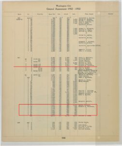 General Assessment 1902-1903, Volume I, Squares 459 to 555, Page 320; General Land Assessment Files, 1902–1938; Records of the Government of the District of Columbia Record Group 351; National Archives Building, Washington, DC. (NAID 145723973)