You know I should make better research notes. Or I should leave bibliographic info with the photocopies…. bad librarian. Bad. Anyway, off the top of my head this map is a scanned copy, of photocopy, of a negative copy, of a map that is of the city circa 1850ish. And if I looked hard enough and if it is cataloged by the Library of Congress, I could find the bibliographic info I should have to say who drew the map and so forth. It’s pre-Civil War.
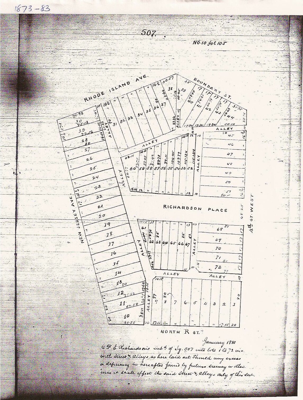
The two light lines are Boundary (Florida) and New York. The squiggly line is a creek. The square numbers are the same square numbers we have today and if you notice…. not a lot of structures. On the negative copy it is easier to see marsh or not-dry-land.
With that in mind I would not even dare call this area, that later became the TC a neighborhood. Heck, I don’t even know if I could call it a community.
Also check out this view of the map.
UPDATE: Better map 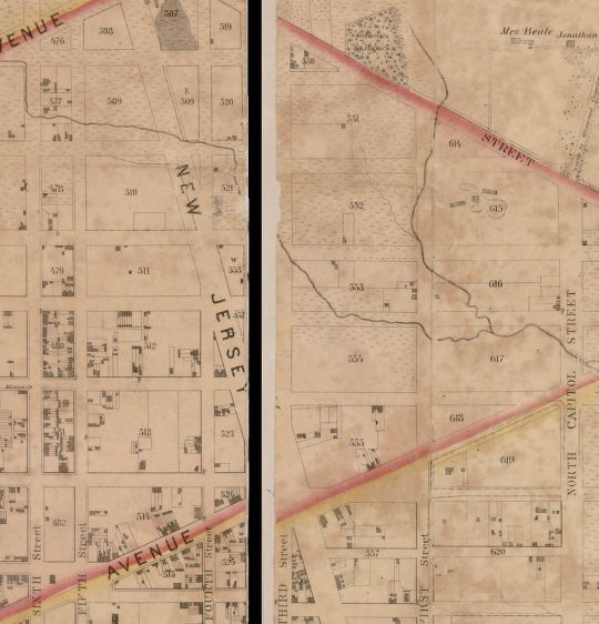 .
.
Updated 12/21/23 for bad image links