This is a repost. But the topic is always something that applies.
Okay so there is a write up in the Washington Post about Shaw. I’m debating about giving Alex Padro a hard time about the east boundary being New Jersey Avenue. Their graphic has Shaw’s western boundary at 13th St NW and the southern part just eats up Mt. Vernon . The boundaries of Shaw keep changing with each article so, there is that. This is a Real Estate article, and they quote Padro and Ibrahim Mumin, so I’m not going to nit pick much, except for this point.
Anyway, here’s a map
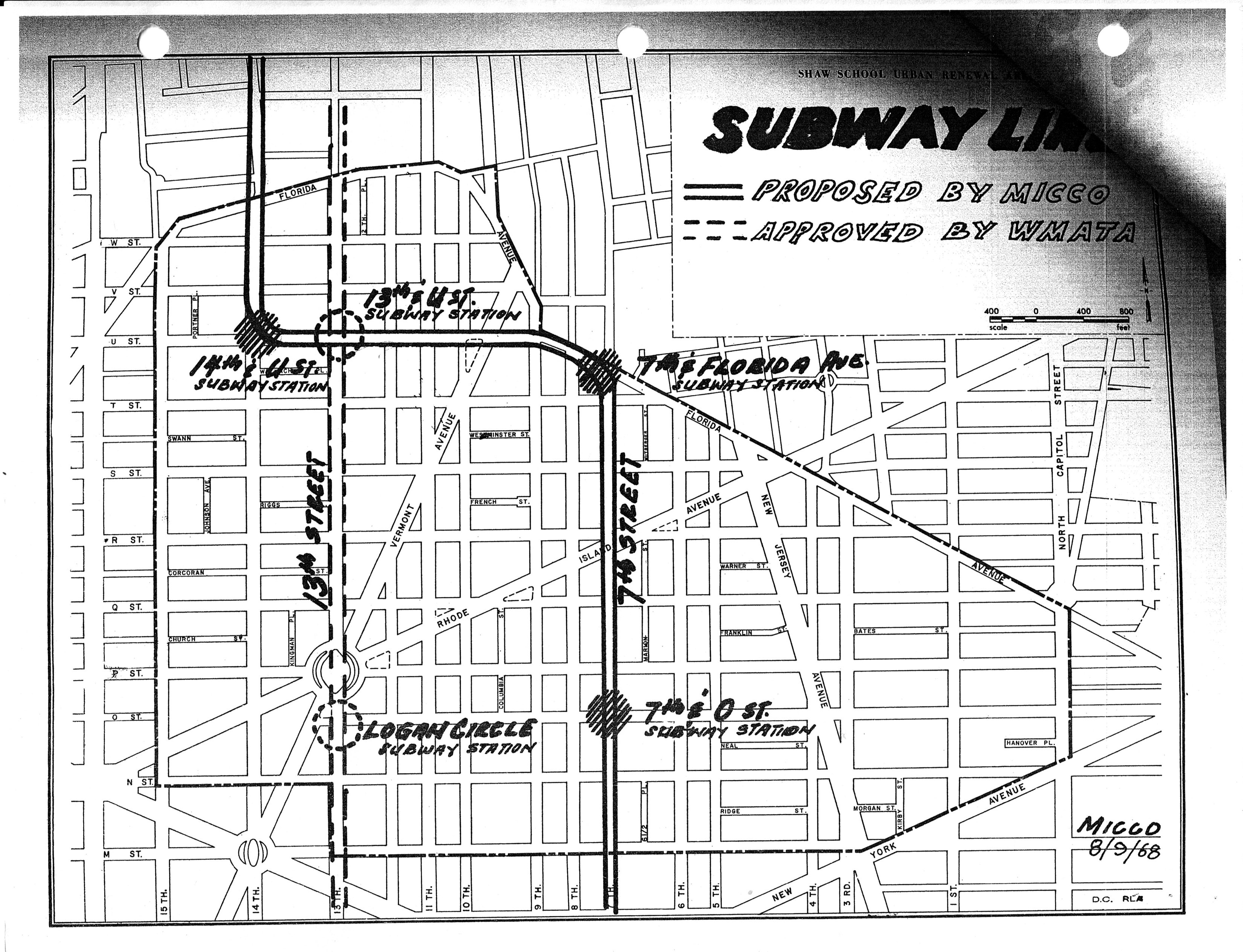
 and this gem
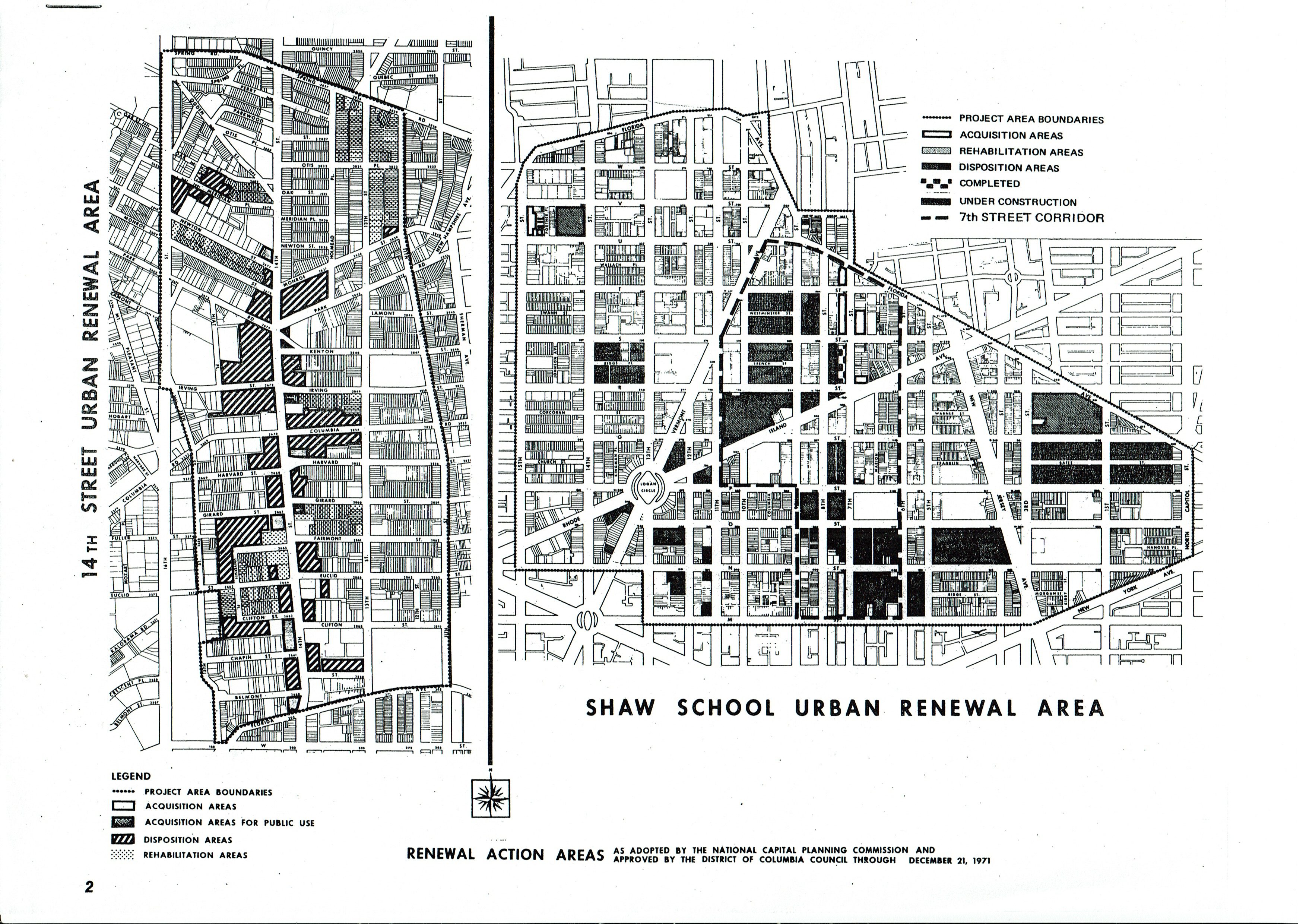
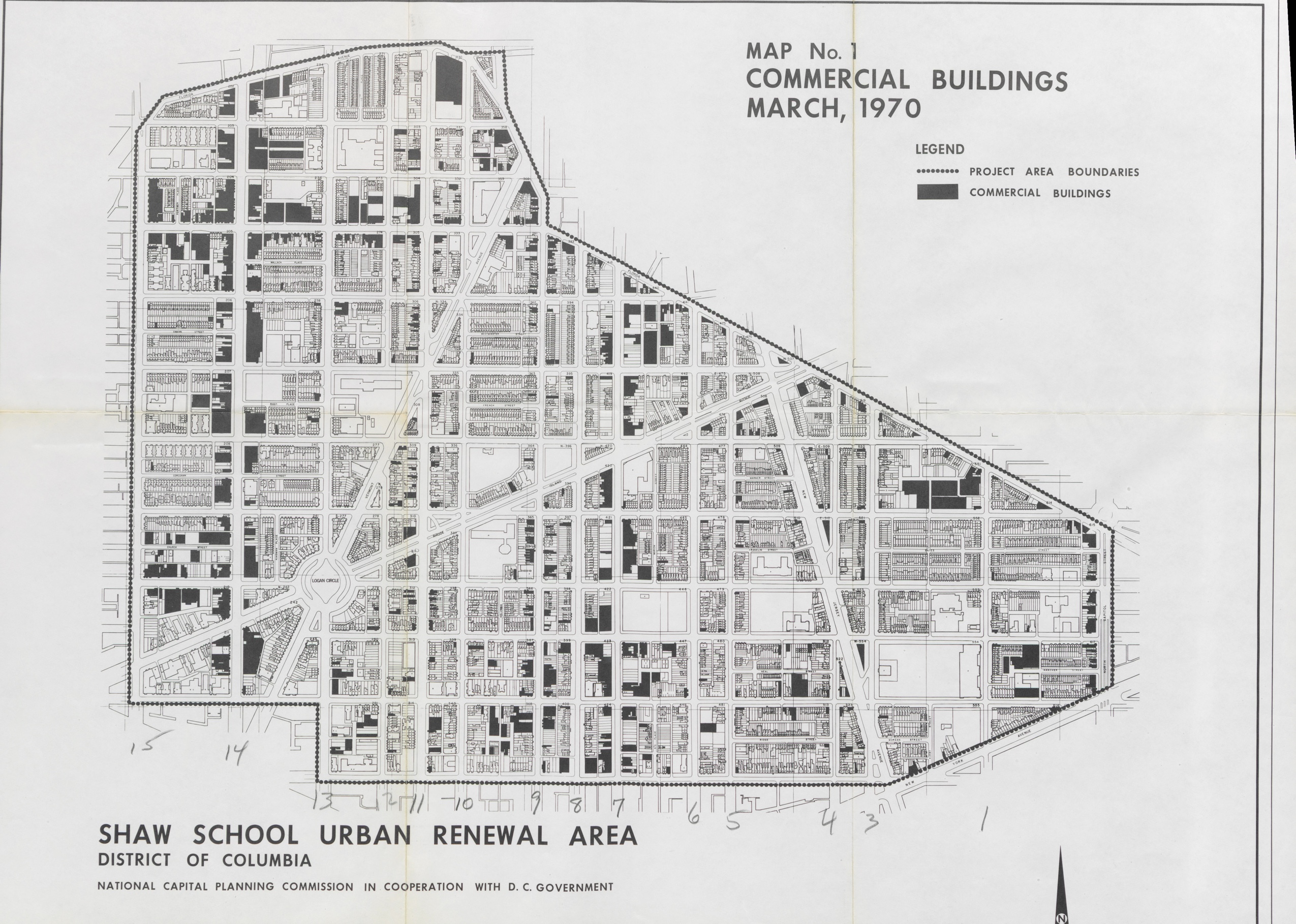
and this…